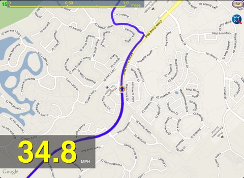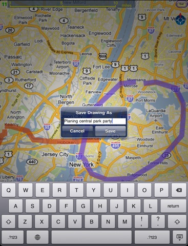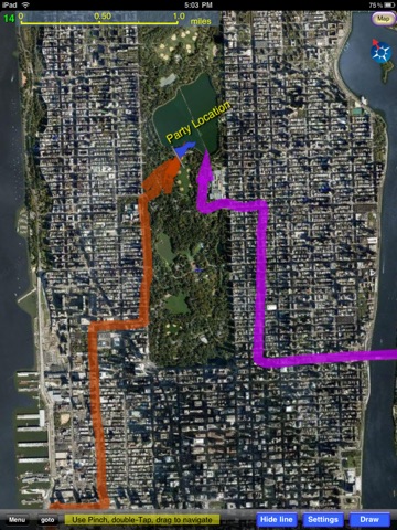
If you are looking for a map application for offline use with GPS capability and prefer gugle map, This is the application you are looking for. This application is your best map solution for your vacation abroad where internet access is very limited. The application is not an offline map, but is better than an offline map.
This is also a Map application with markers so that you can draw lines of various colors and width on map just like you do with a paper map. It is a great application for trip planing and vacation.
Not only you can draw freely on the map, but also you can save it for later use. You can also create POIs of your own and save them by collections for later referencing. You can jump to any of the POIs. Also, the best part is that it can use your GPS module inside your iPad to do navigation and leave a GPS track for the place you have covered and the GPS Track can be saved for later reference. The track properties such as color , width and transparency can be set using marker property settings.
The best use is for vacationing. All you need to do is sitting on a tour bus and enjoy the senery while watching the map move as you go to see where each of the place is on the map. It will leave a GPS track on the map so you will know exactly where you have visited. Of course you can use this application for real time navigation.
It has a strong map tile caching and displaying capability to enhance offline user experience:
it has 4 times the ability to cache map tiles. When you view an area of map at a level, 4 levels of the same area are downloaded and cached for later use.
It also has 4 times the ability to display the map. When you are at a level of map for viewing, if the map tiles of that level are not available in cache and internet is not available, it will use cached map tiles at the next 3 levels, whichever is more detailed, and blow them up to the current level for display. This greatly increased the offline map usability. It is unlikely that you see nothing for an area during offline use if you have browsed the map area lightly during online trip planning time.
If your iPad is a wifi only version that does not have a builtin GPS module and you want to use your iPad as a big screen navigation device using your iPhones GPS capability. There is a solution for you. You can connect to your iPhone through bluetooth for GPS siginal. This feature can be done through menu Config GPSConnect iPhone for GPS button. It will connect the ipad to a nearby iPhone running an applicaton called "Bluetooth GPS" that is available from app store.
For more info about this map and its usage, please visit:
http://yalipictures.homedns.org/PaperMapscreenshots/
Alert from Apple: because this new version is using Location Background Mode, continued use of GPS running in the background can dramatically decrease battery life.
We tested this new background running feature and found that it drains less than 1% of battery every 10 minutes when the iPad is turnned off. Which means that a fully charged can be used to log well over 10 hours, making this application a good location logger. It does not interfere with your normal use of the iPad at all while running in the background. In other words, this application not only can tell you where you are, but also where you have been. You start the application in the morning and start GPS. Then quit the app and turn off the iPad(let it run in background). Use the iPad as you normally would throughout the day. At evening when you come home. Start(resume) the application to check where you have been the whole day. It tracks every place you went today. Given such a good background running mode, it has a wide range of potential usage.


